Metropolitan Museum of Art Map Design
Designed by Ronan Kelly at Applied Wayfinding
Design Director: Tim Fendley
Planning Director: Jonathan Mugmon
Senior Designer: James Dunford
Digital Mapping: Living Map
Categories: Environmental / Wayfinding
Industry: Cultural
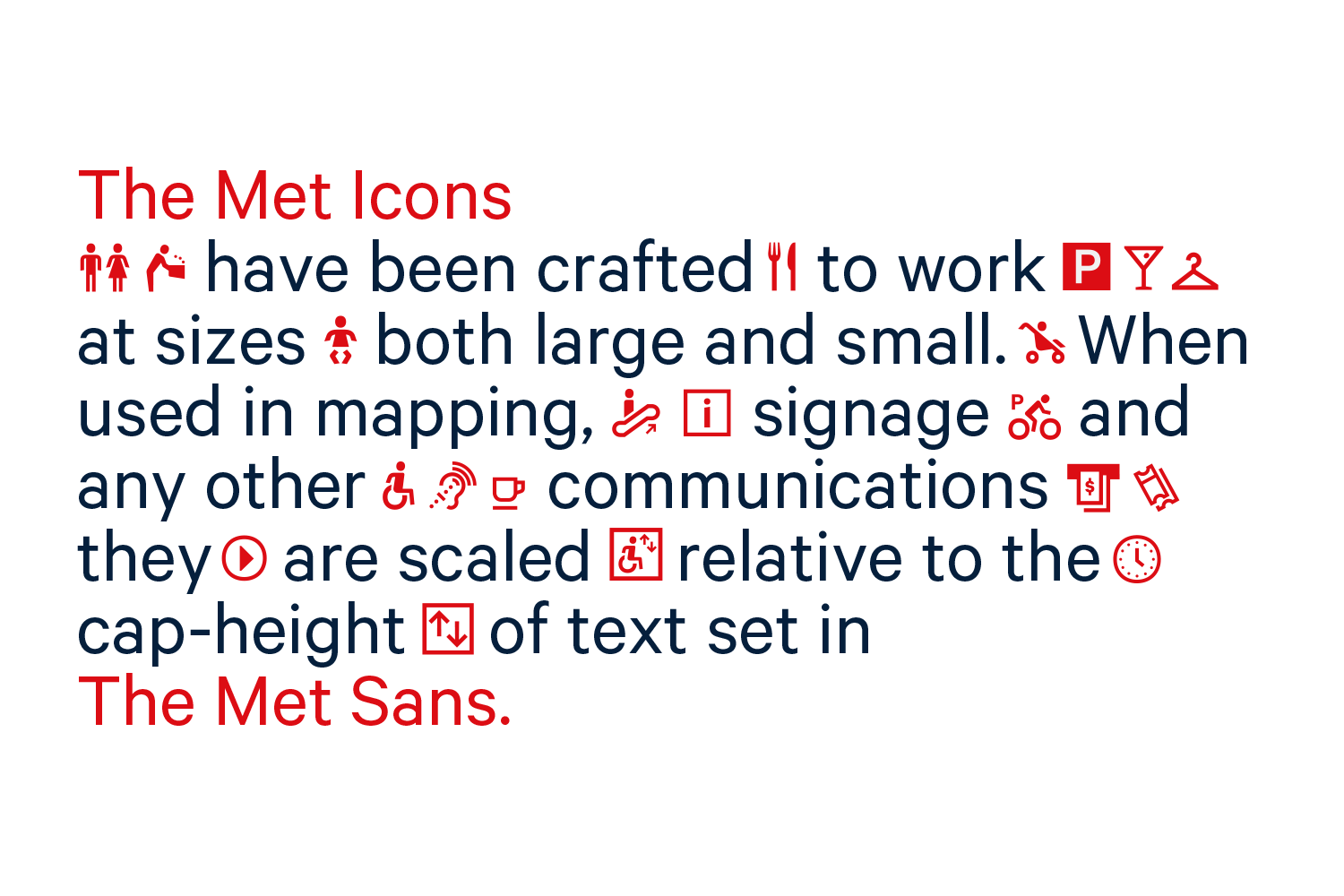
Tags: Icons
Mentioned in:
Website: maps.metmuseum.org
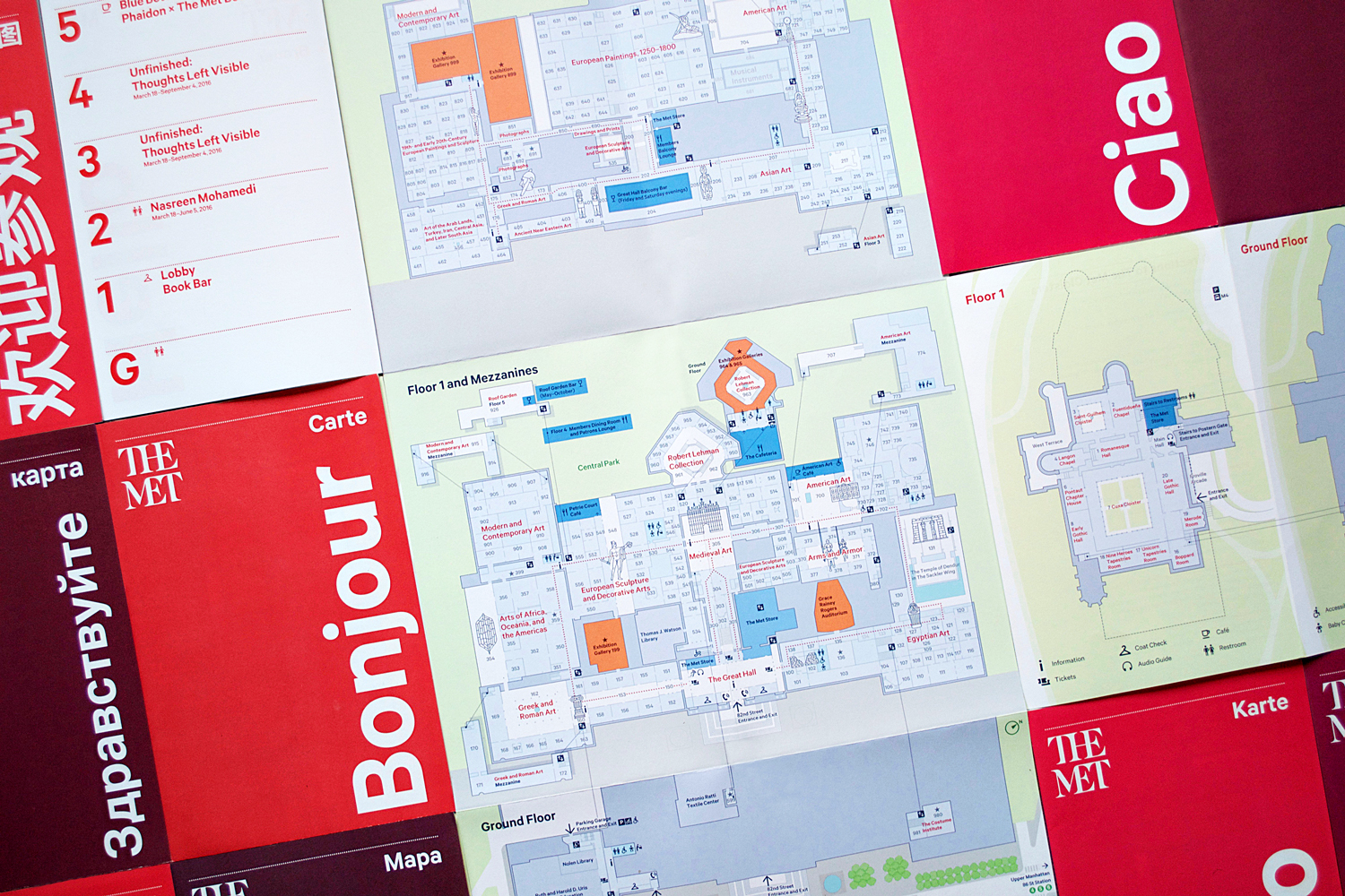
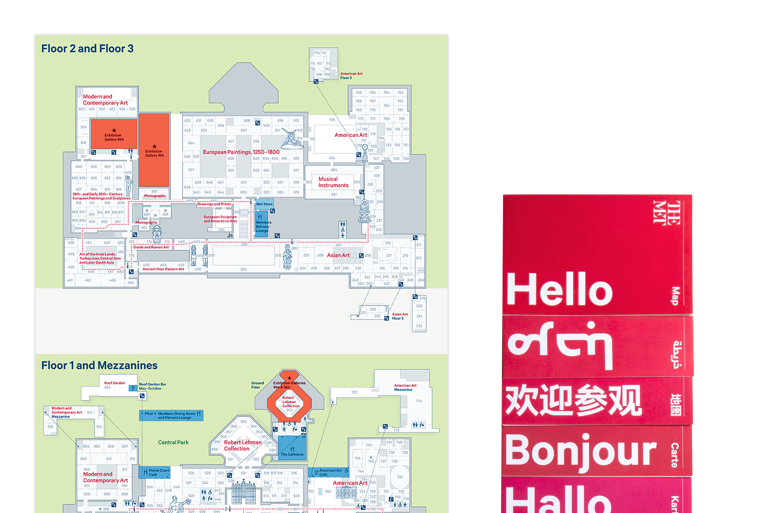
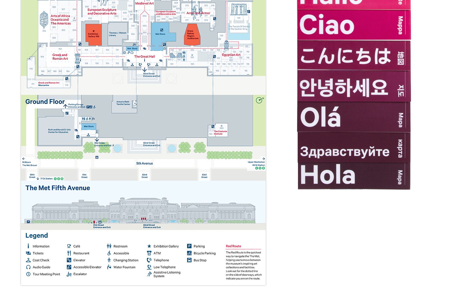
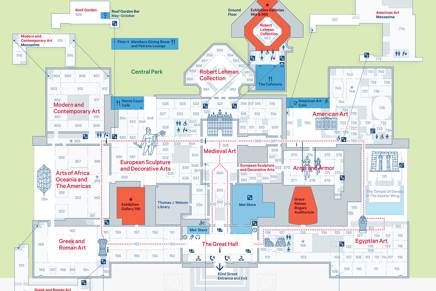
In 2016 Applied Wayfinding designed the map for The Metropolitan Museum of Art and The Met Cloisters in New York. The main museum is the third most visited in the world, with roughly 6 million visitors per year and maps printed in 11 languages. After years of expansion the museum had developed a complex layout of galleries across multiple floors and mezzanines.
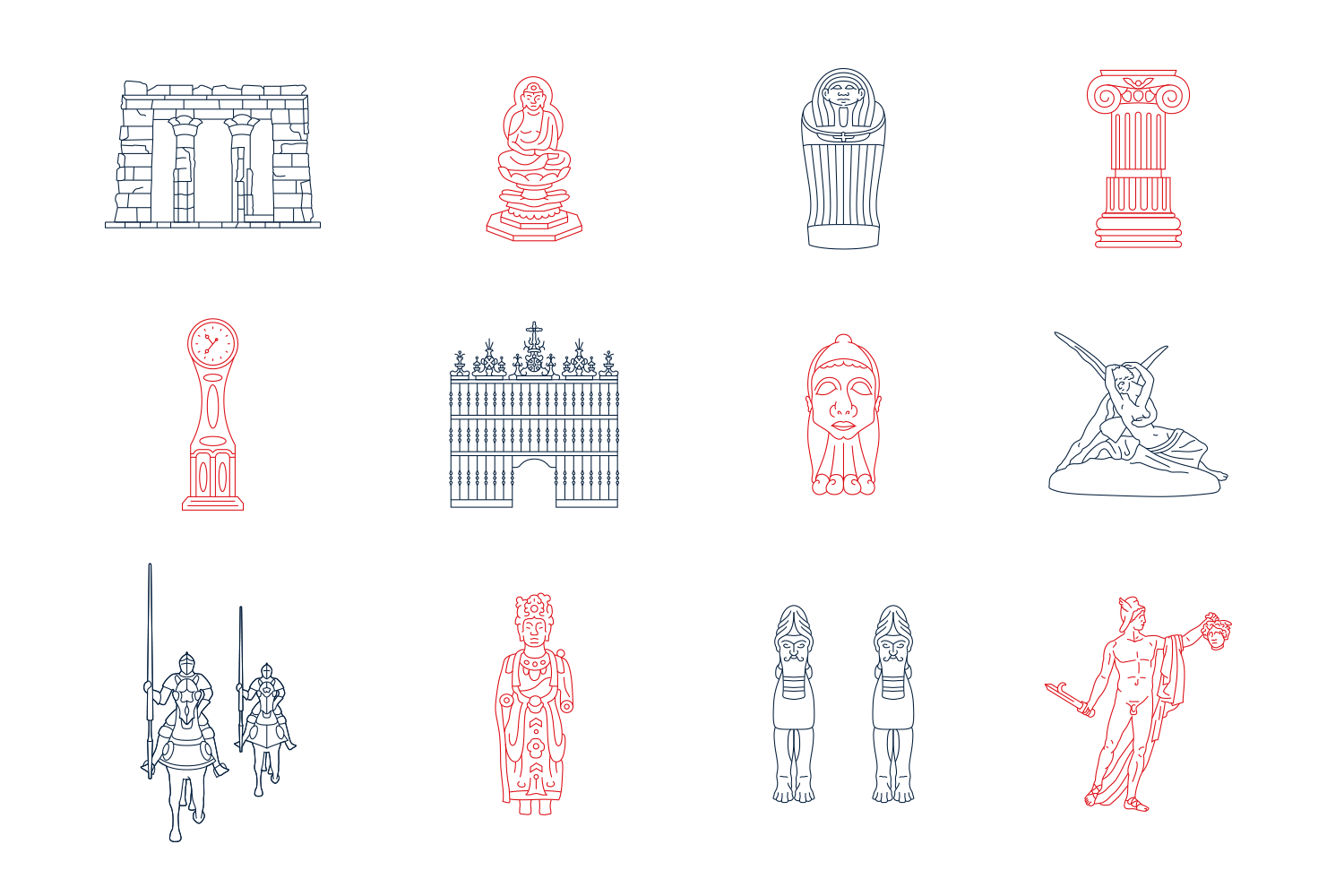
Our map has a central route to take visitors through each of the collections. Landmark objects are used as key points of orientation on mapping, along with important dining, shopping and restroom services. Subtle colour changes on the map base reflect environmental light differences between areas, using the building's architecture to further clarify the image of the museum. Room numbers are a reference for the visitors' orientation in-gallery, so these are shown at every map scale.
A digital version of the museum map can be viewed at the link above. Built by Living Map, it allows visitors to navigate the building online, finding artworks within the collection. It also uses various sizes of icons, landmarks and numbers in response to different zoom levels and devices.
All images copyright Applied Wayfinding, 2016